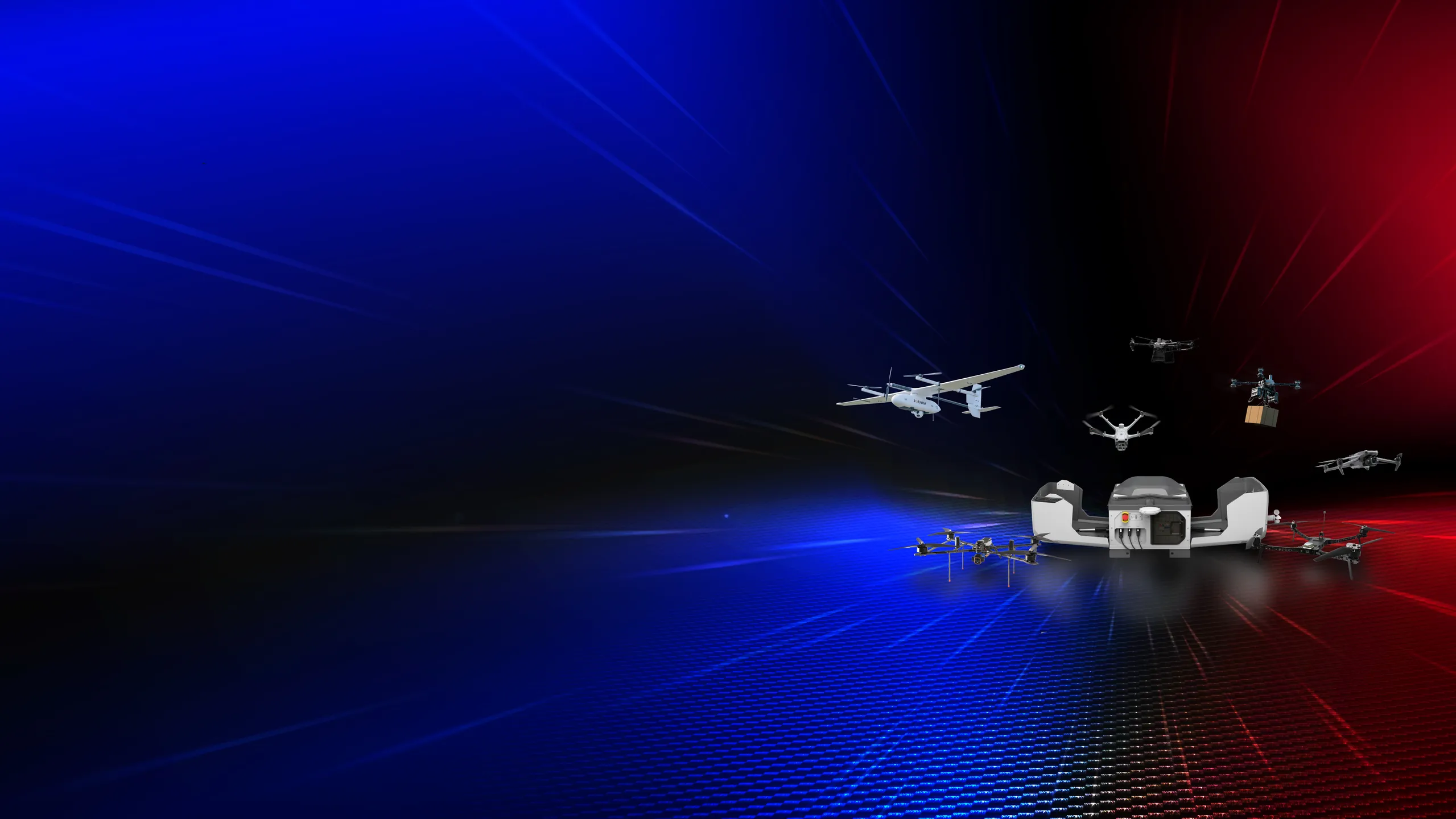
Comprehensive unmanned aerial vehicle (UAV) solutions, ranging from heavy-lift transport drones and smart long-range VTOL surveying drones to AI-driven platforms for autonomous operations.

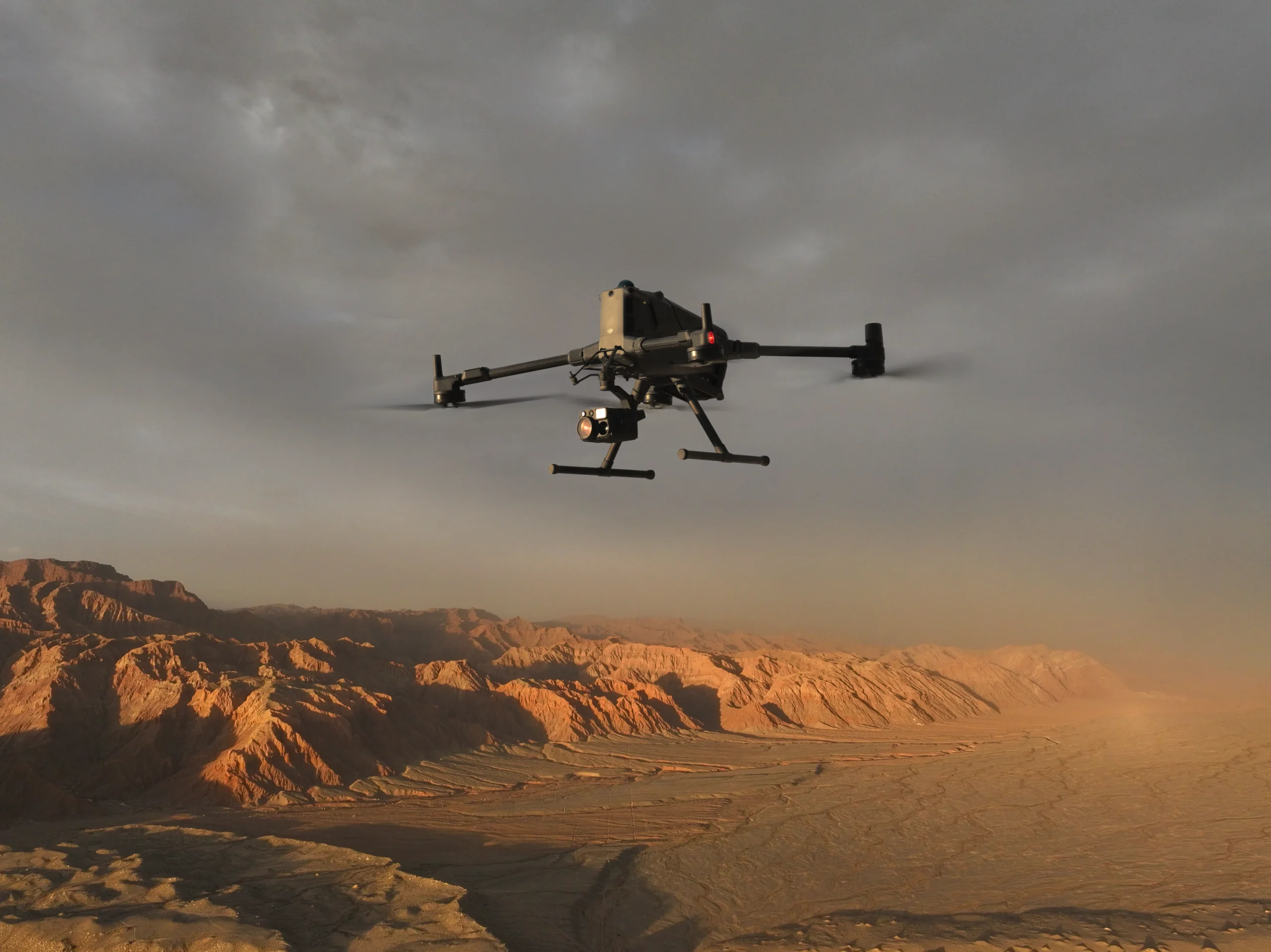
The flagship enterprise drone features a maximum payload capacity of 6 kg and an extended flight time of up to 59 minutes. Equipped with LiDAR and mmWave radar systems for advanced obstacle detection, it also seamlessly integrates the O4 Enterprise image transmission system and built-in AR projection.
Download Product Manual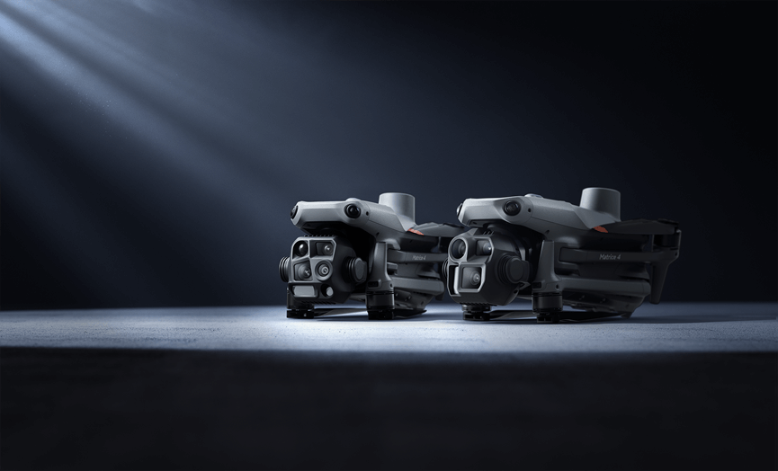
A compact, multi-sensor drone equipped with laser range finding and integrated AI technology to significantly enhance flight safety and precision. Available in two models: the Matrice 4T (Thermal Imaging Camera) and Matrice 4E (High-Resolution Camera)
Download Product Manual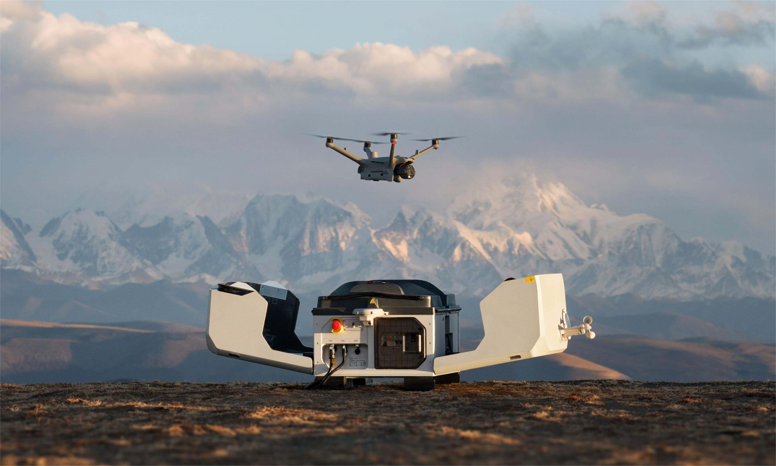
A fully autonomous drone station engineered for 24/7 continuous operation. As DJI's first vehicle-mountable dock, it is fully compatible with the Matrice 4D/4TD and can be remotely managed via DJI FlightHub 2.
Download Product Manual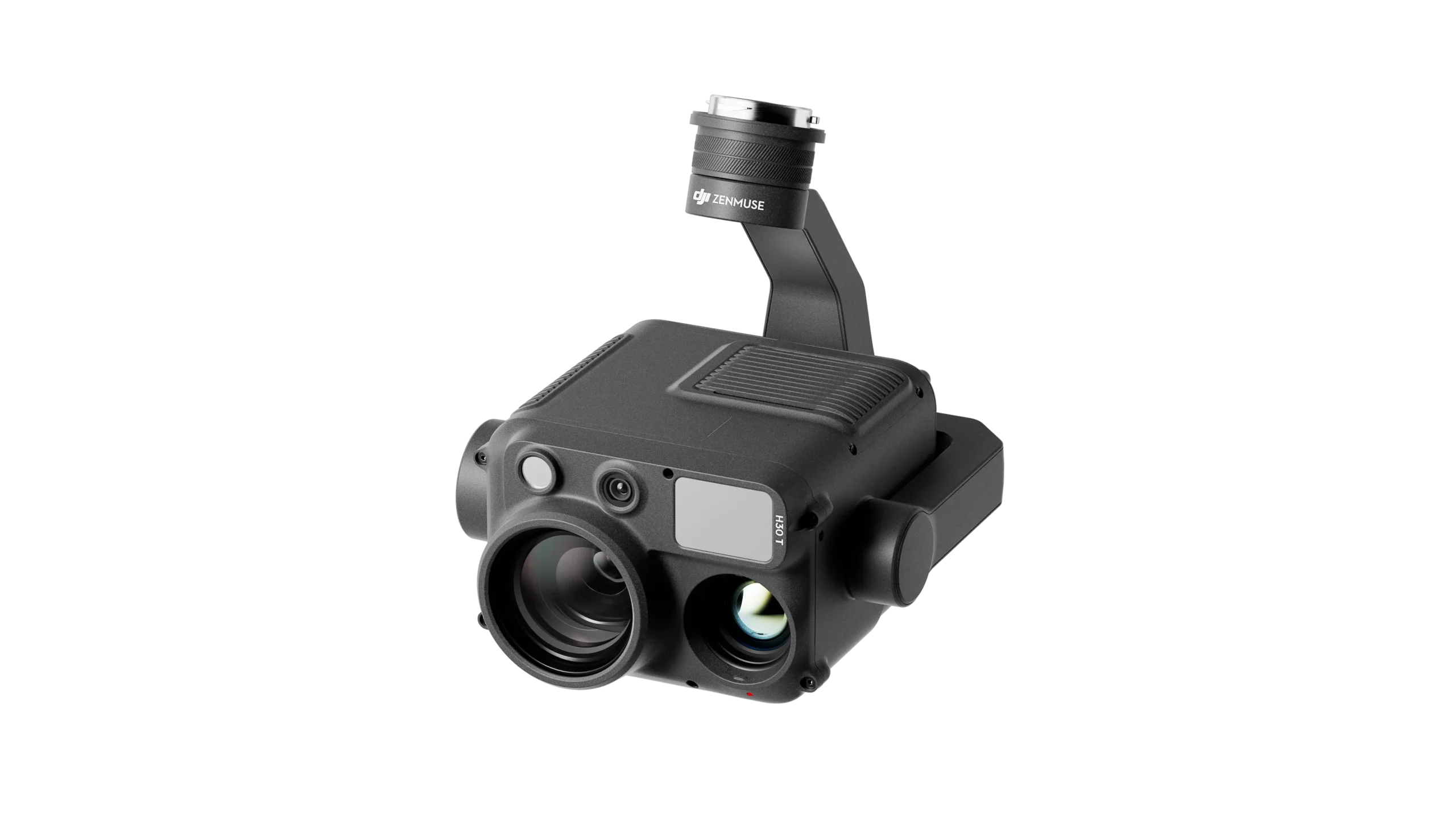
A multi-sensor camera featuring advanced thermal imaging and high-powered zoom capabilities, meticulously designed to deliver precise results for inspection and search and rescue (SAR) missions.
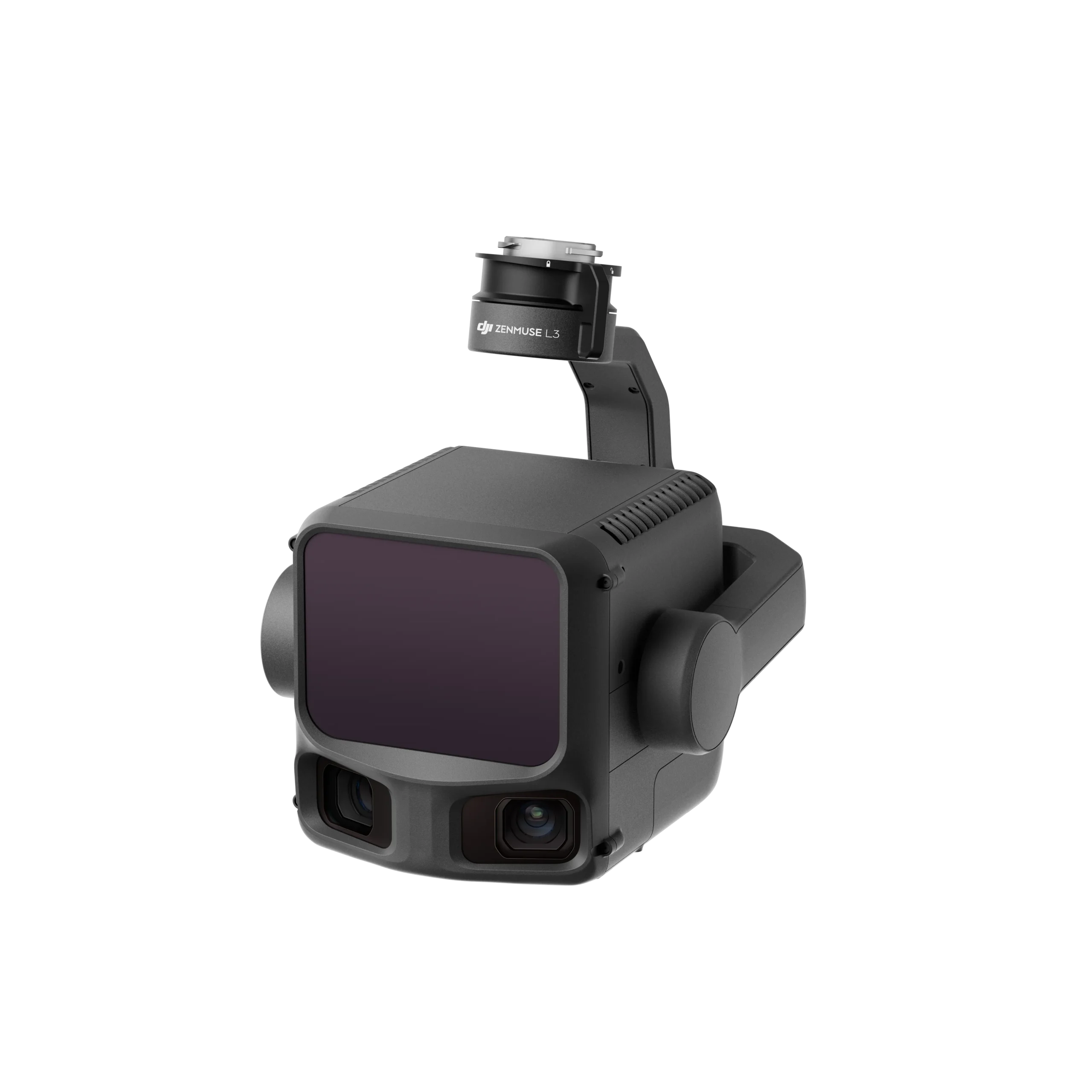
A high-precision LiDAR sensor engineered for professional aerial surveying and high-accuracy 3D modeling applications.
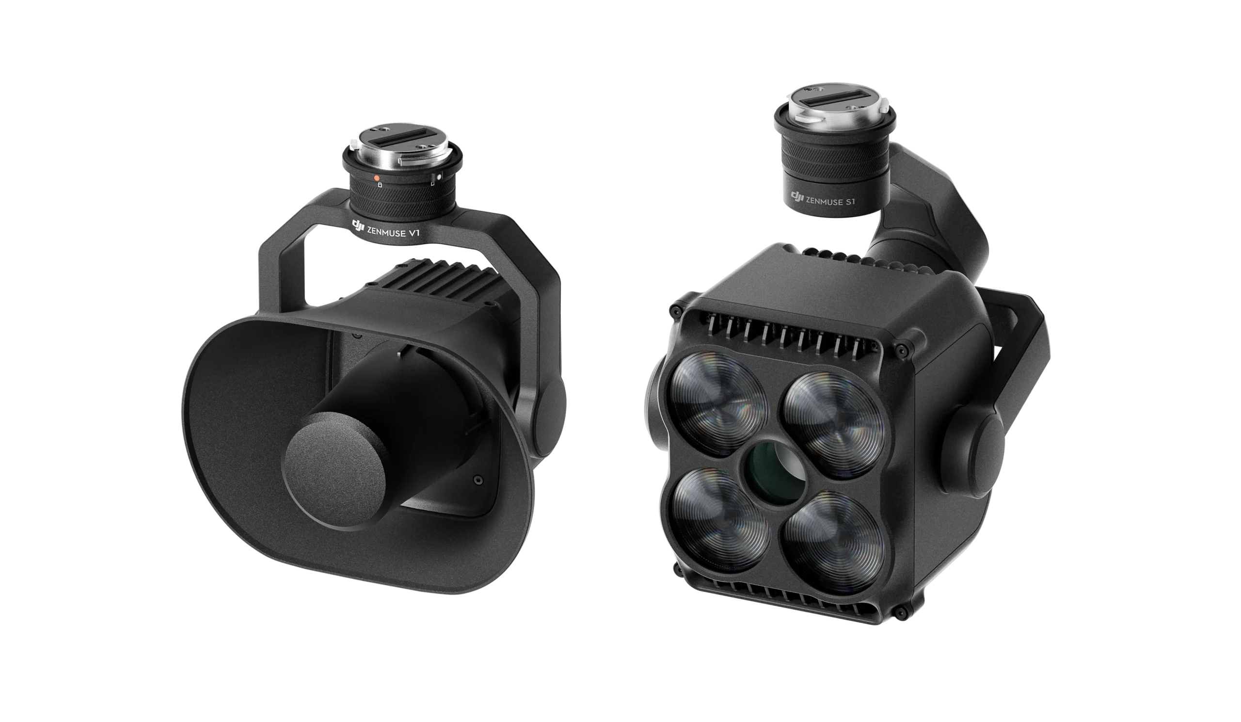
A powerful loudspeaker and spotlight accessory suite, designed to maximize operational efficiency during search and rescue missions across all environments.
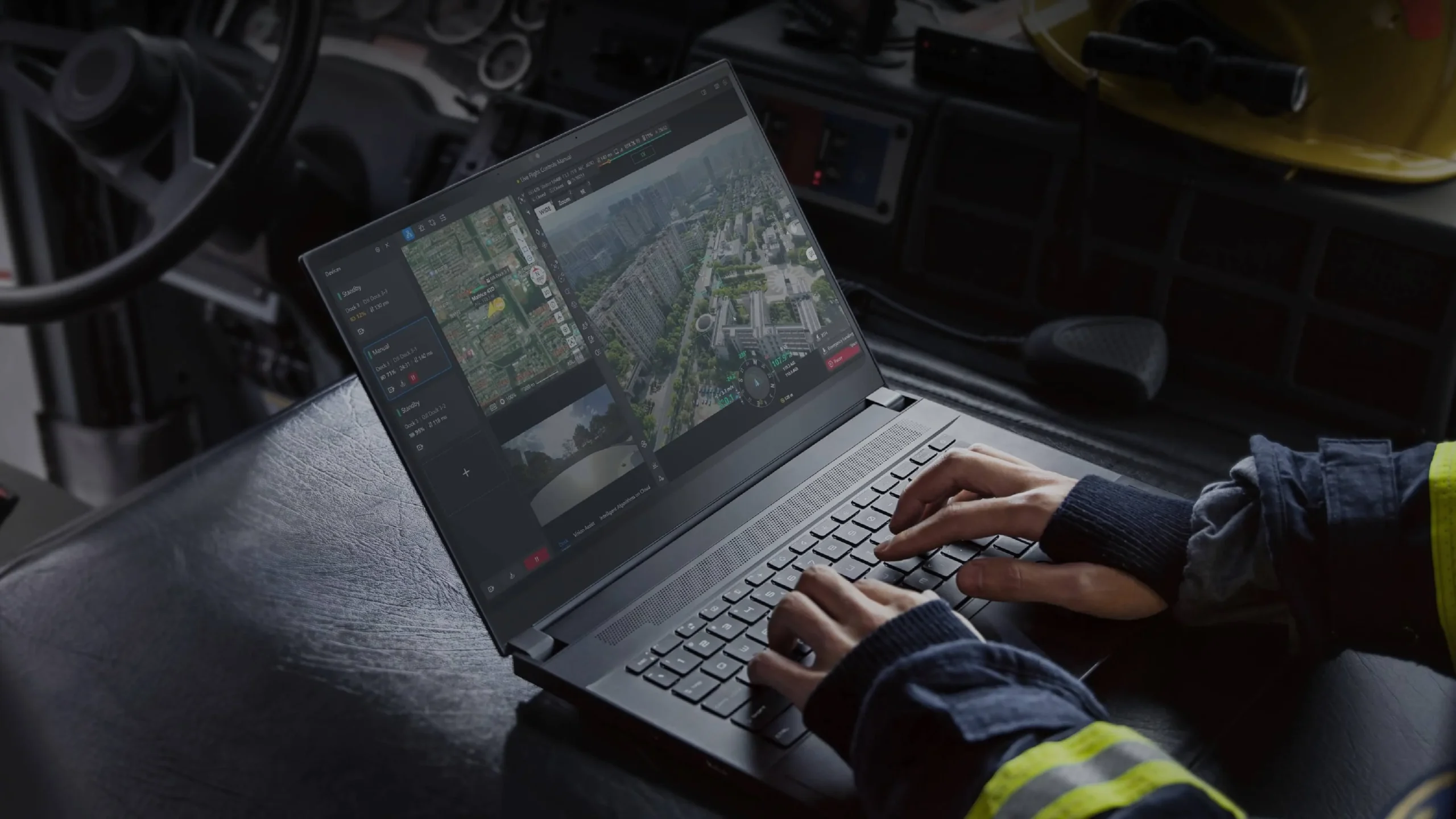

A comprehensive cloud-based drone fleet management platform. Plan, control, and track the status of every mission efficiently in real time.
Download Product Manual
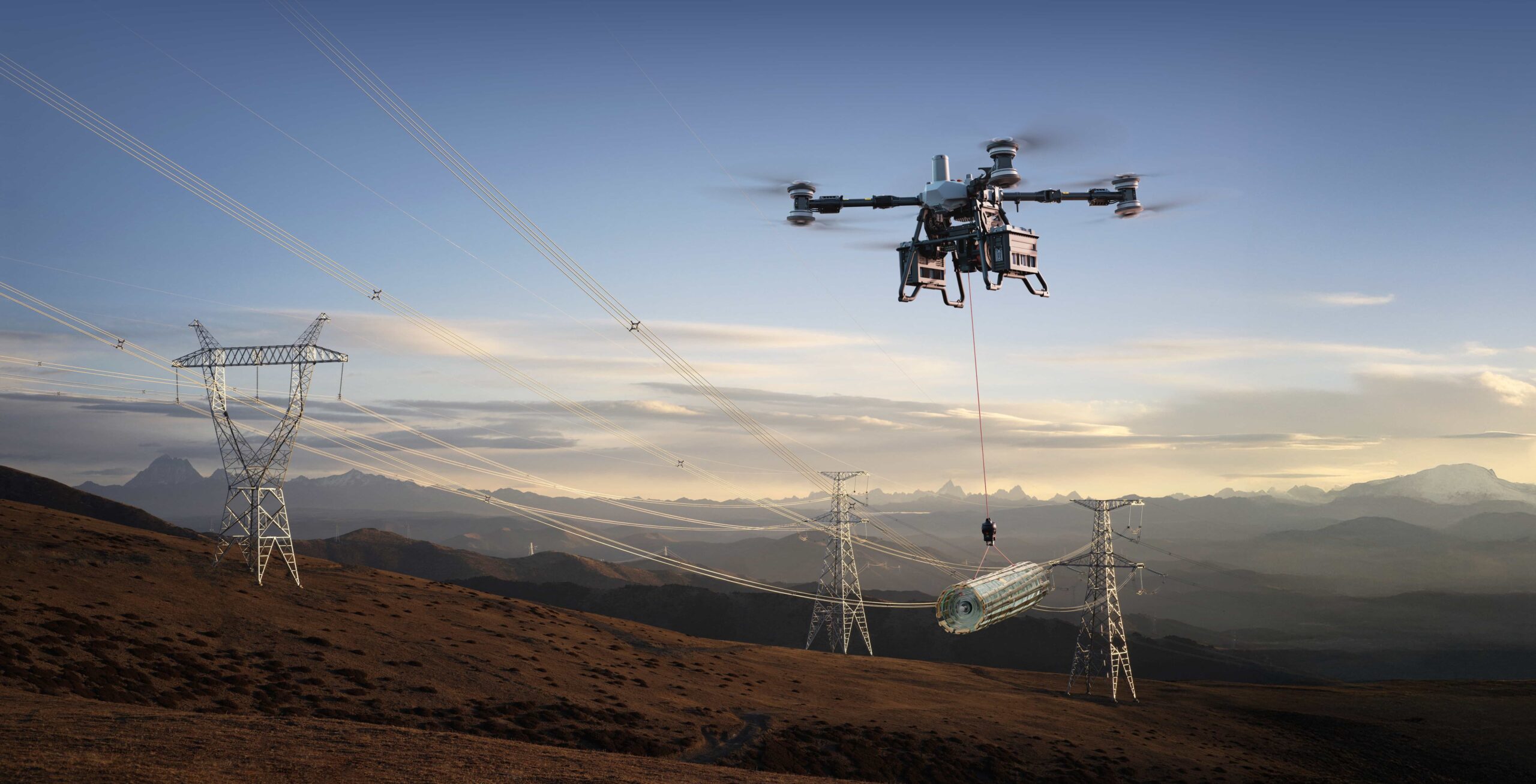
A flagship heavy-lift delivery drone featuring a maximum payload capacity of 85 kg, powered by a dual-battery system. It supports two interchangeable payload configurations (winch and lifting) and is equipped with intelligent safety systems, including a built-in parachute.
Download Product Manual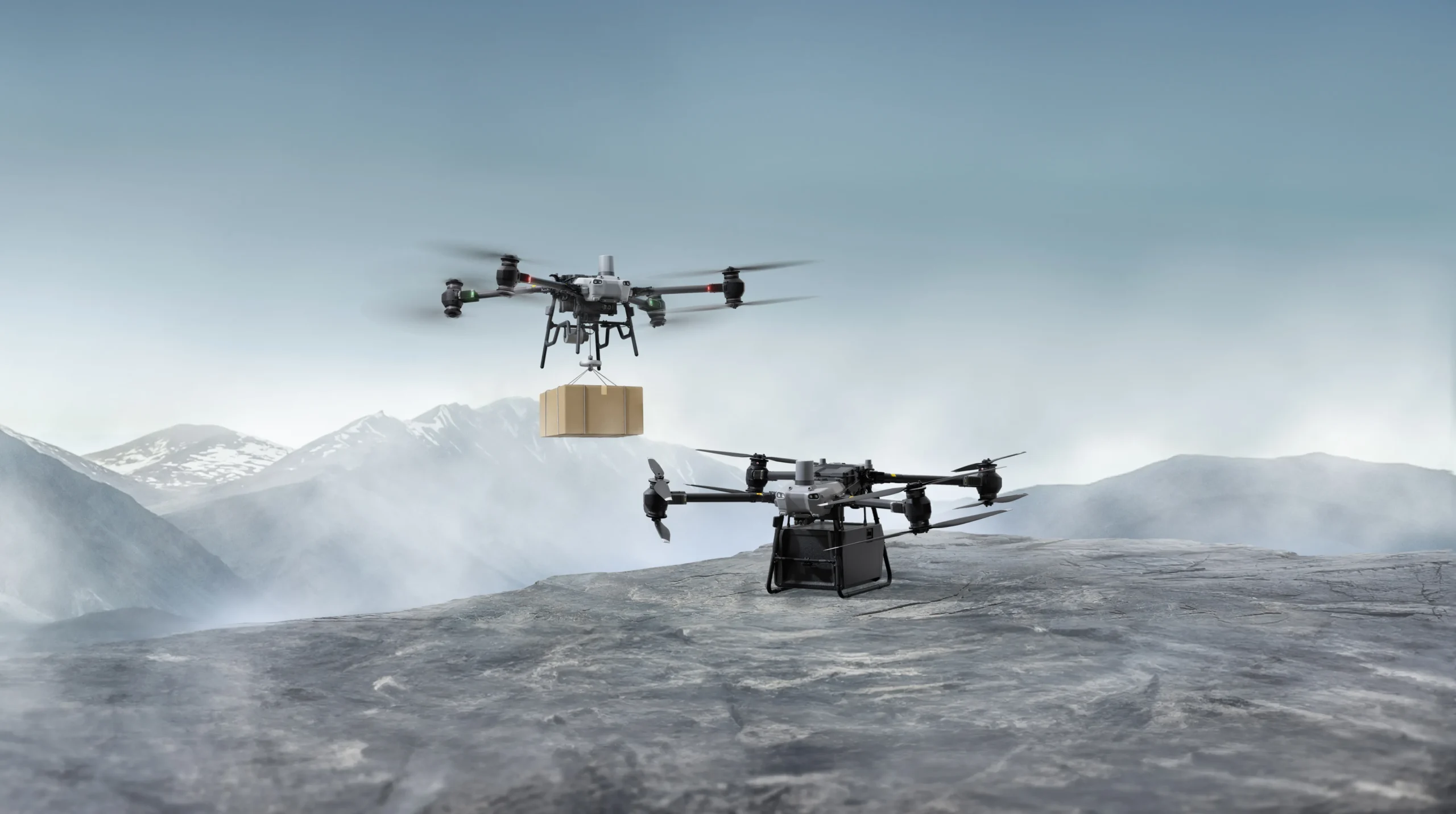
A heavy-lift delivery drone offering a maximum payload capacity of 40 kg and an impressive flight range of up to 28 km. It supports two operational modes (cargo and winch) and comes fully equipped with a dual-battery system and an integrated parachute.
Download Product Manual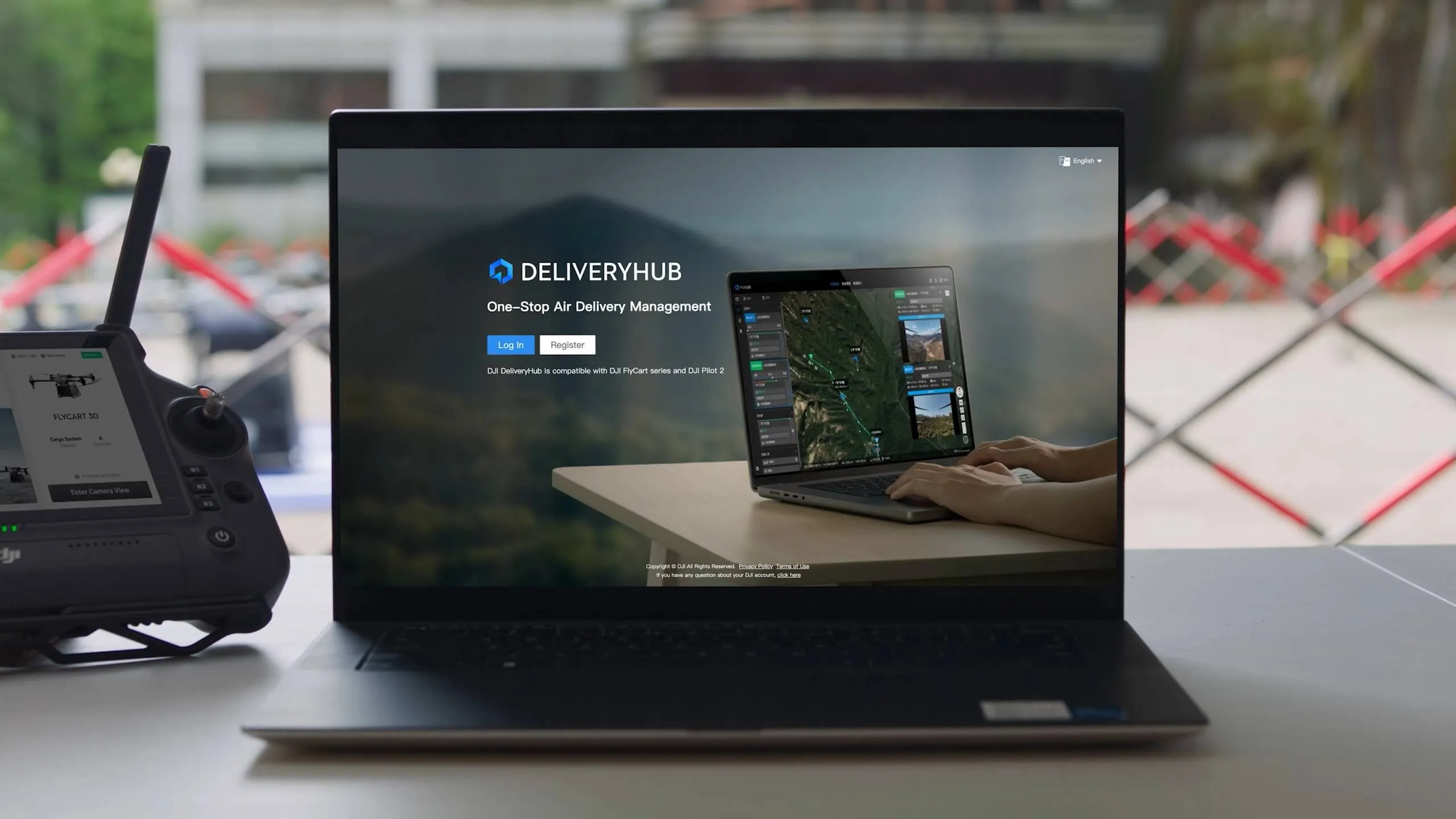
An intelligent drone delivery management software system designed to simplify every mission and maximize operational efficiency.

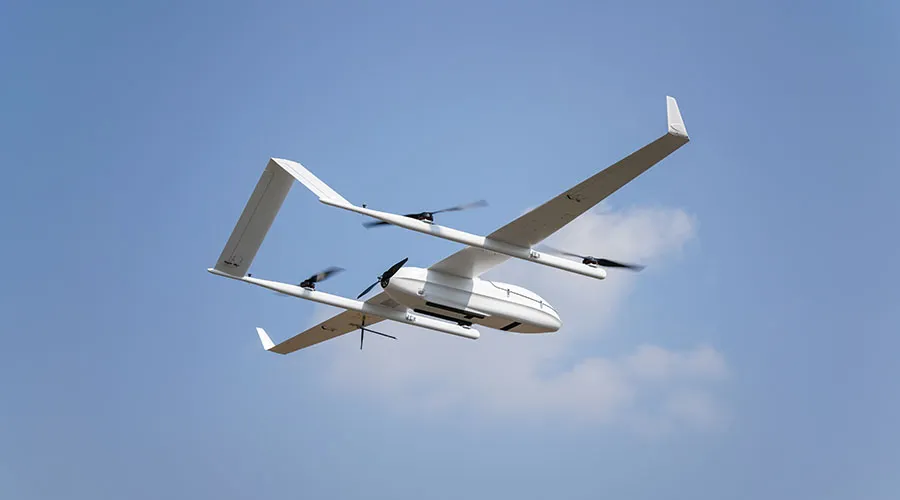
The hybrid fixed-wing VTOL (Vertical Take-Off and Landing) utilizes a dual fuel and electric power system, enabling multi-hour flight endurance and extensive area coverage. It is highly ideal for large-scale surveying and mapping operations.
Download Product Manual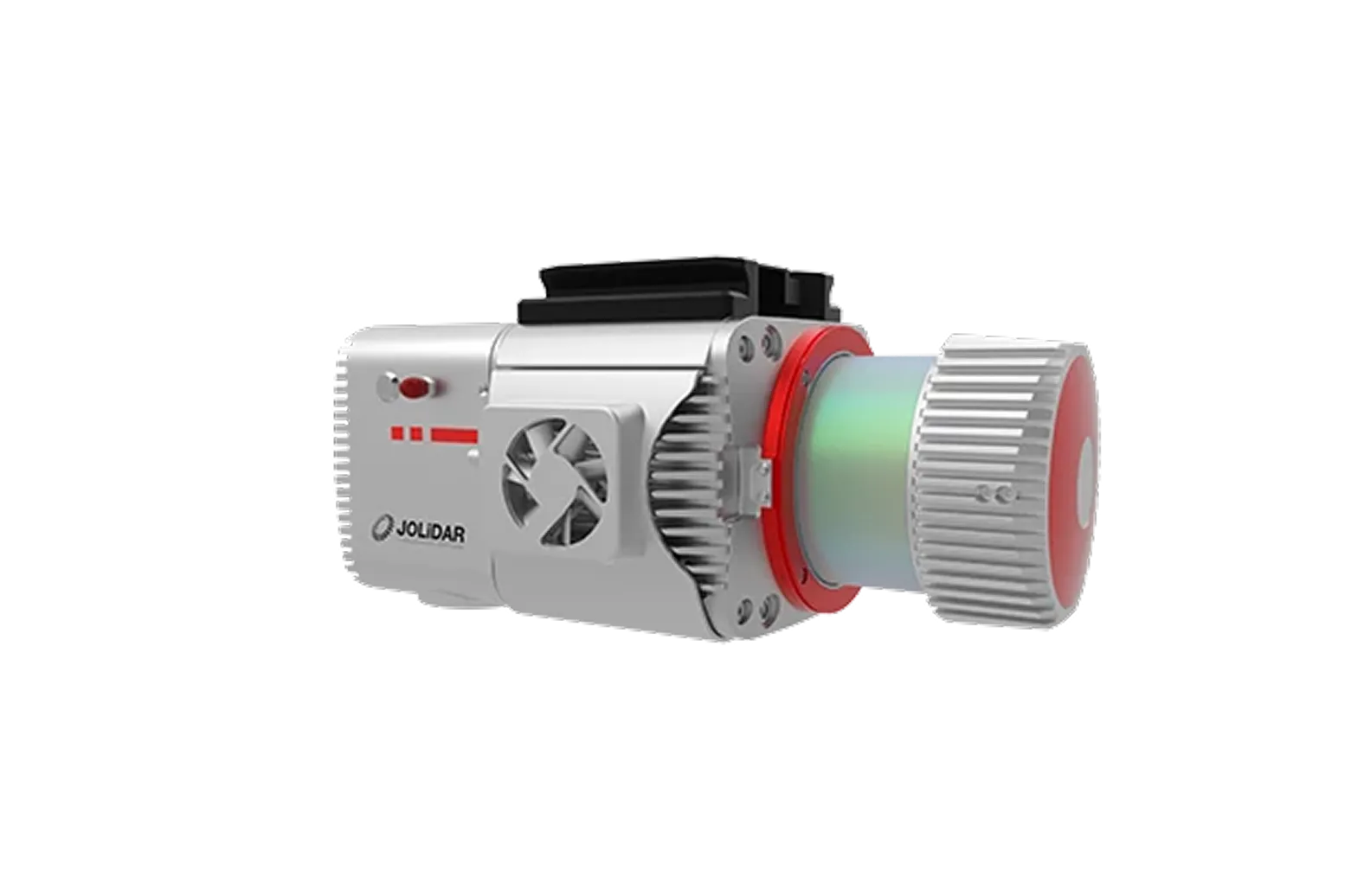
High-Performance LiDAR Sensor. Expertly engineered for precise surveying, aerial mapping, and the generation of highly accurate 3D models.
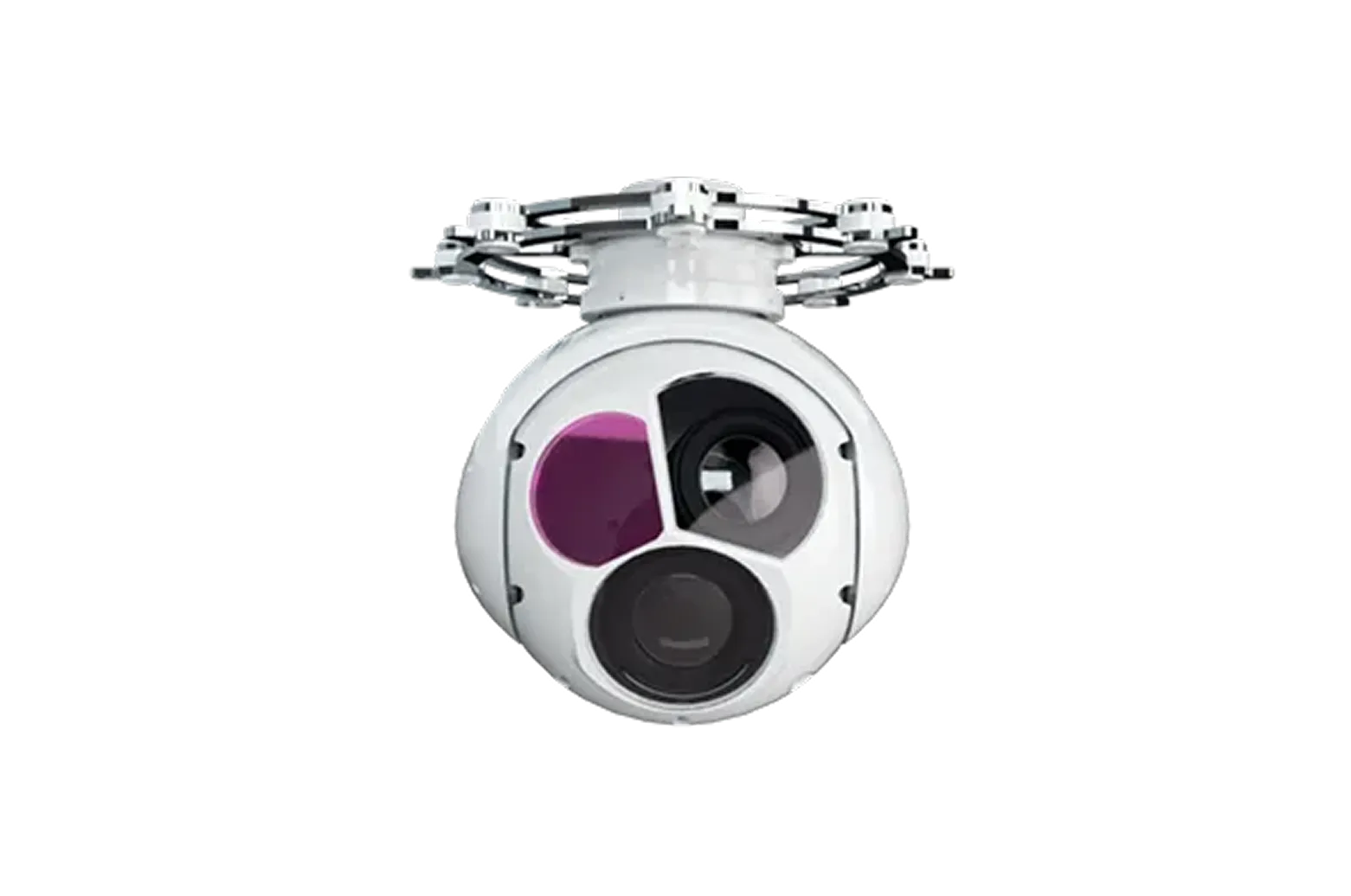
Multi-Sensor Gimbal Camera Seamlessly combines Electro-Optical (EO) imaging, Infrared (IR) thermal detection, and Laser Rangefinder (LR) technologies, providing the ultimate solution for reconnaissance and search and rescue missions.
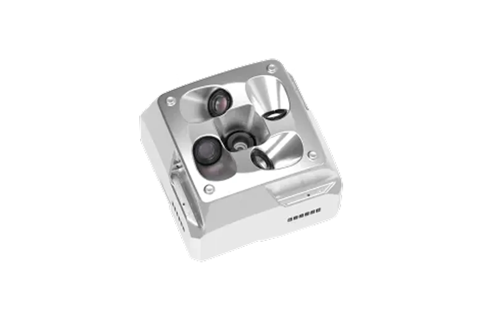
Multi-Lens Oblique Camera Specifically designed for comprehensive aerial data acquisition, enabling the creation of professional, highly detailed 3D city modeling and urban planning

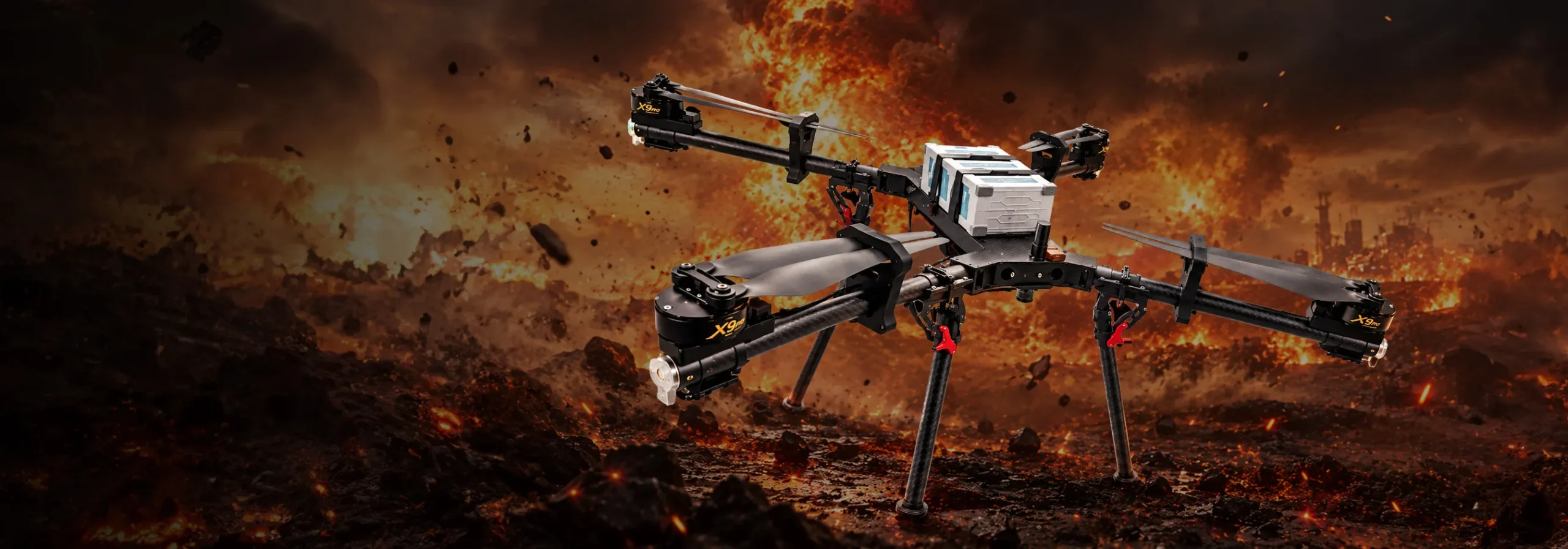
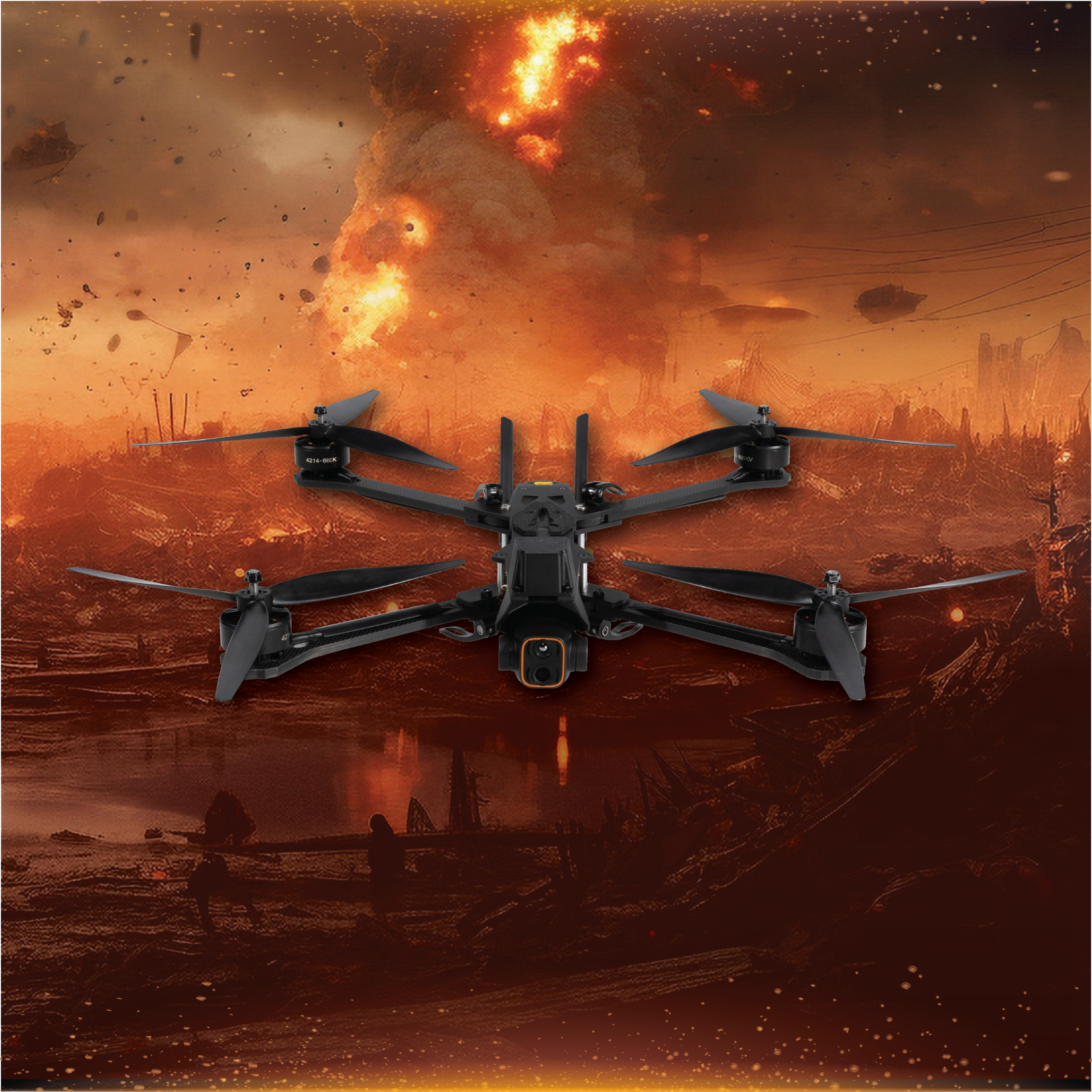
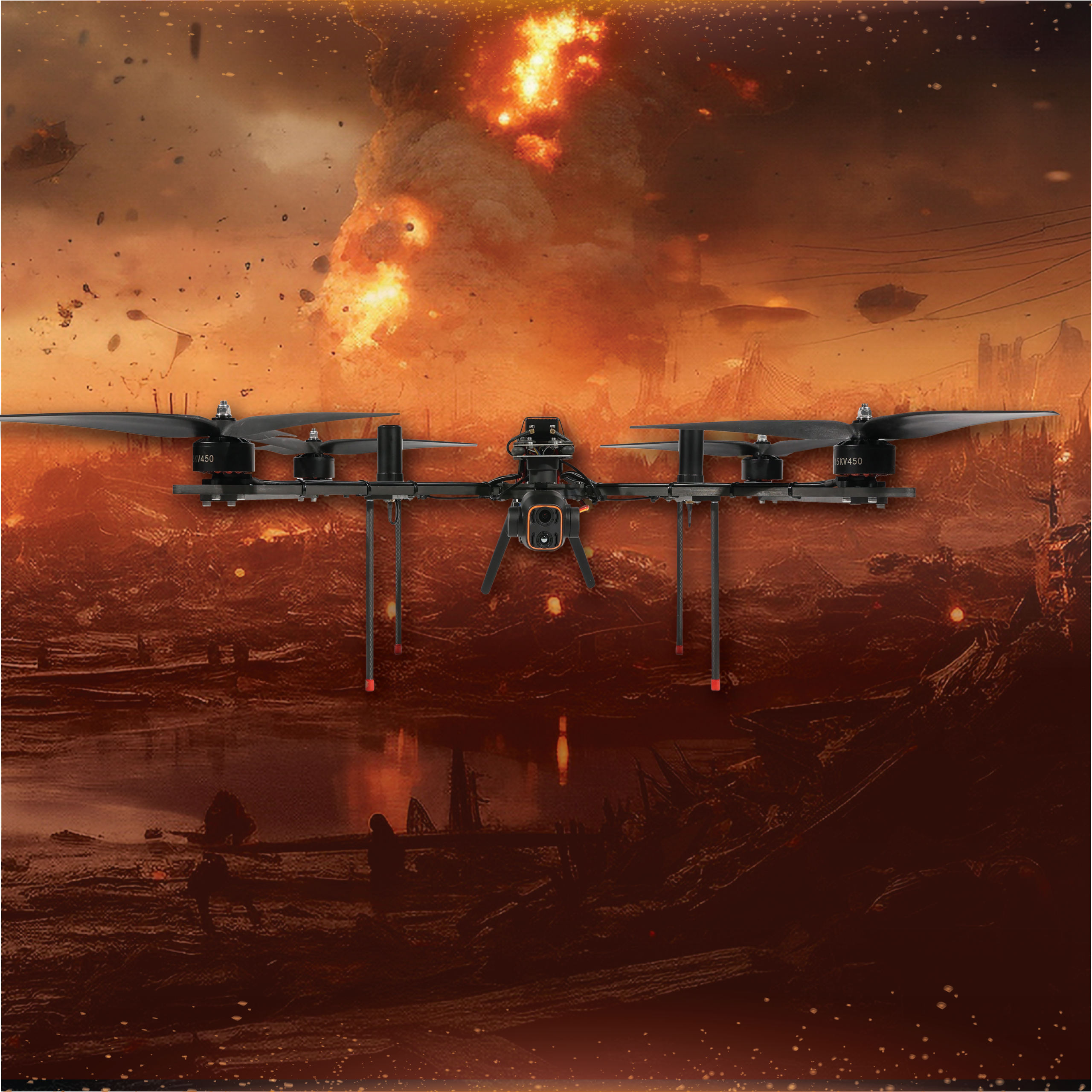
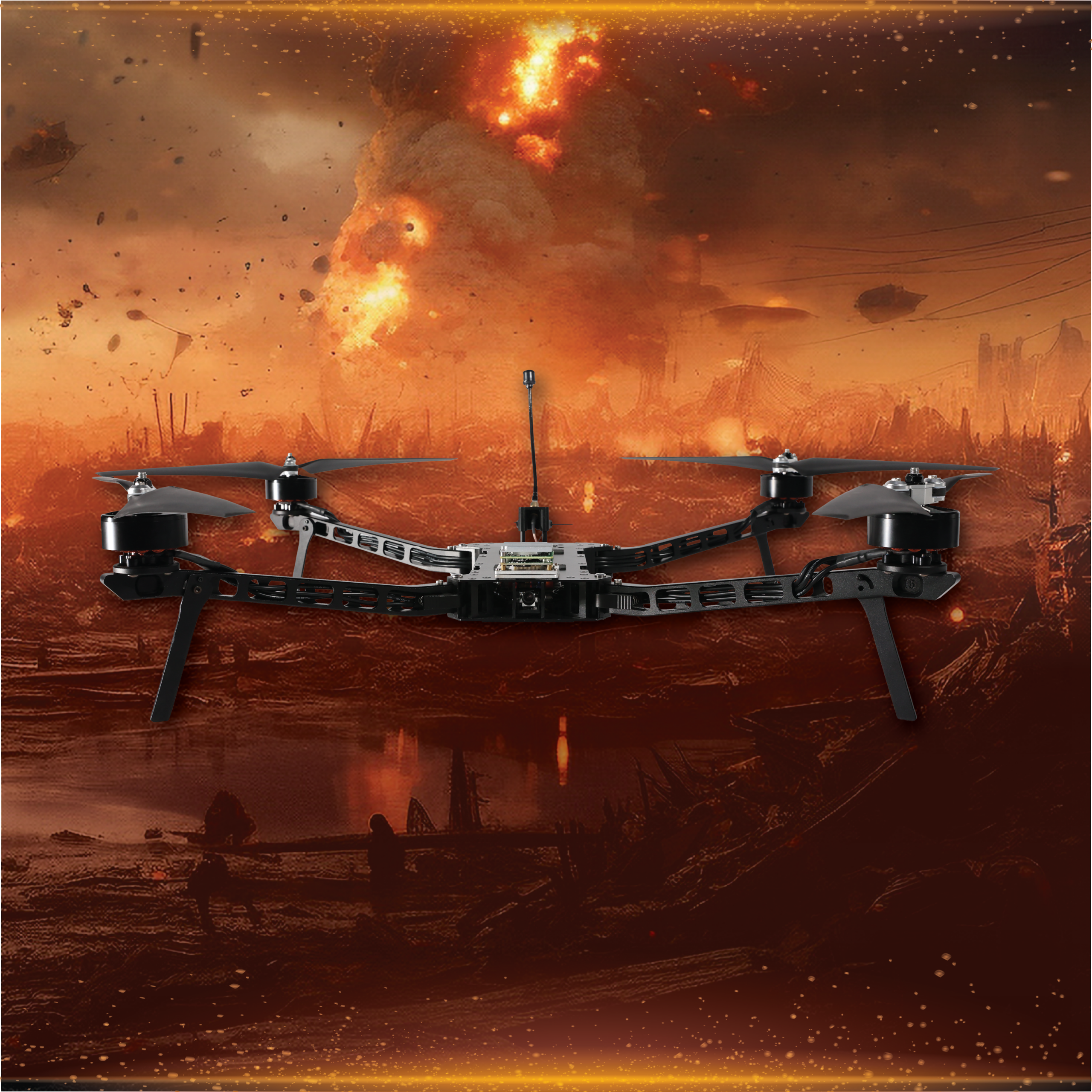
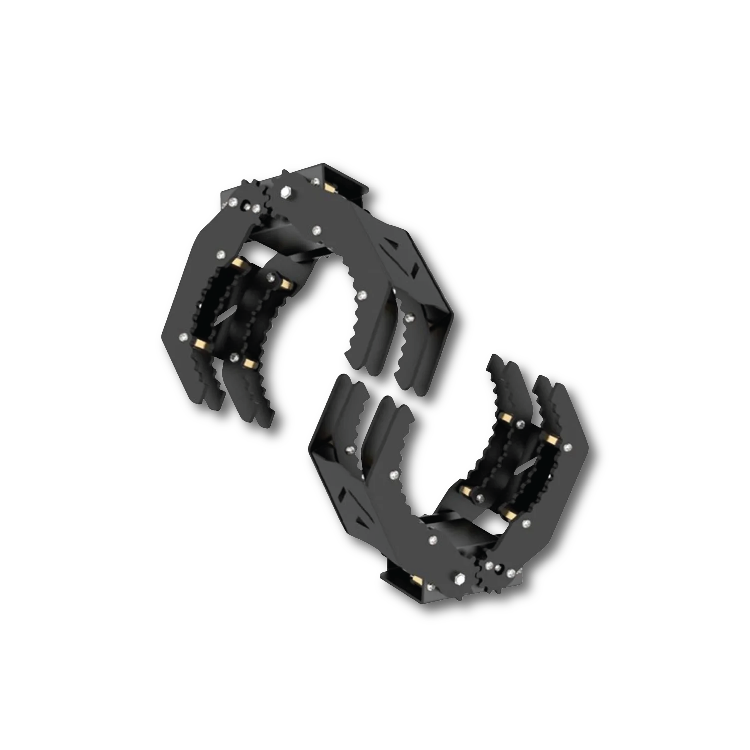
A gripping mechanism designed for grasping, lifting, or releasing objects, supporting a maximum payload capacity of 3 kg.
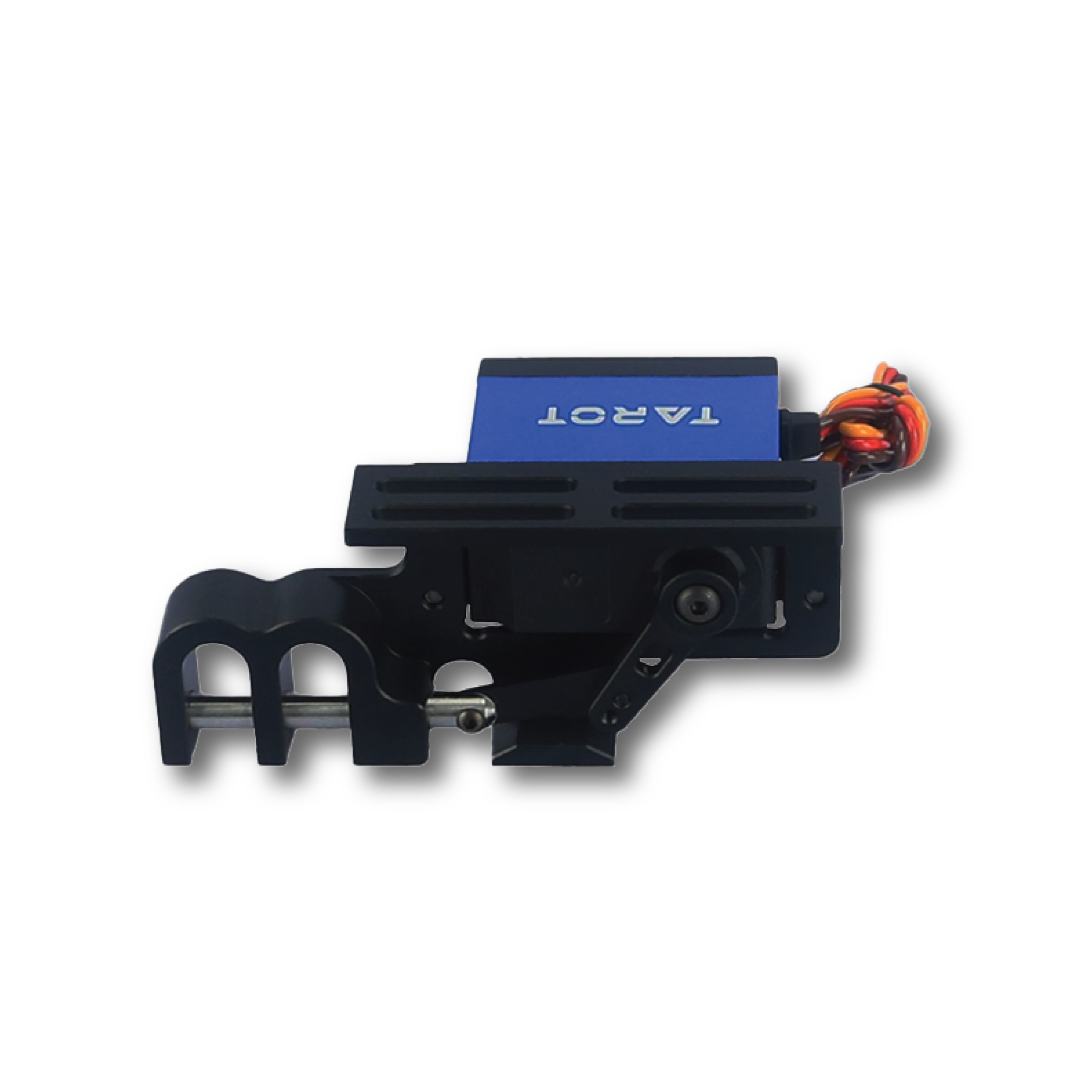
A two-stage servo mechanism for payload release, capable of supporting a maximum weight of 10 kg.
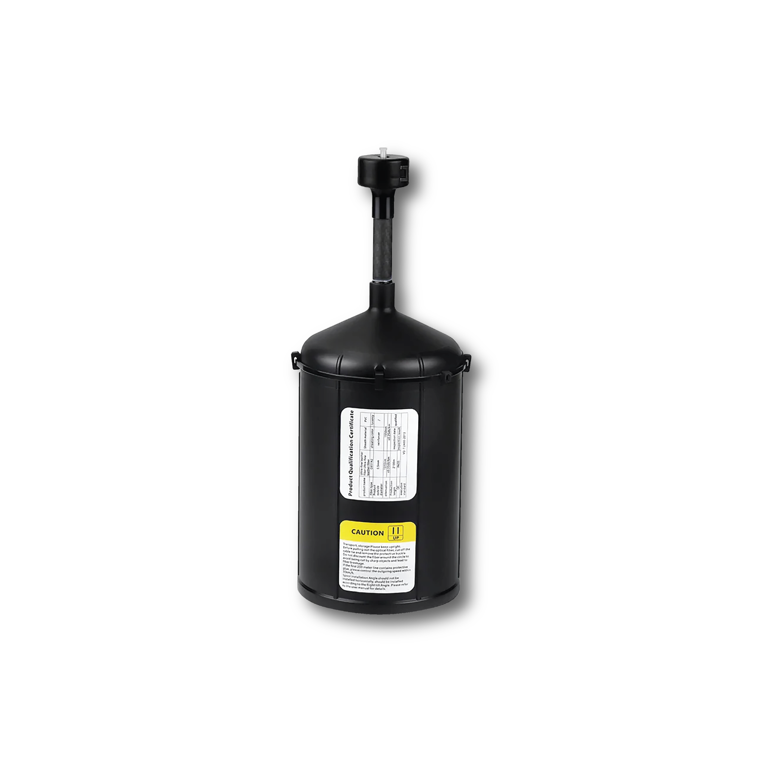
A fiber-optic control system engineered for high resistance against signal interference and electronic jamming.

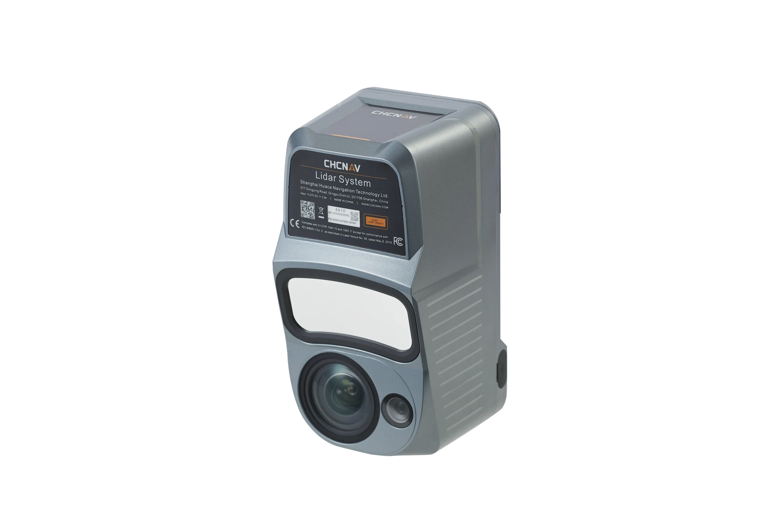
A survey payload designed for integration with CHCNAV unmanned systems to ensure accurate and continuous field data collection.
Download Product Manual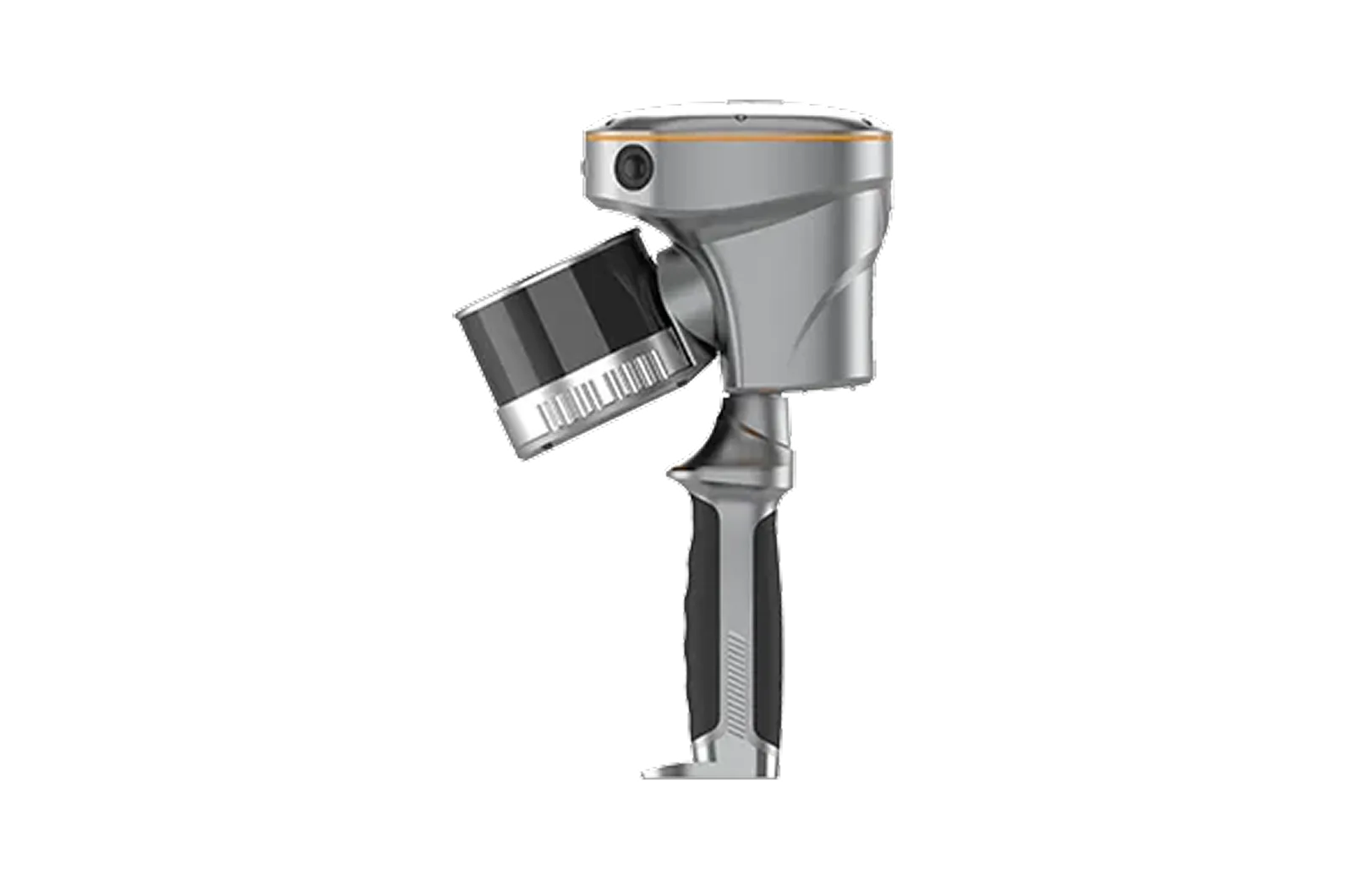
A survey payload designed for integration with CHCNAV unmanned systems to ensure accurate and continuous field data collection.
Download Product Manual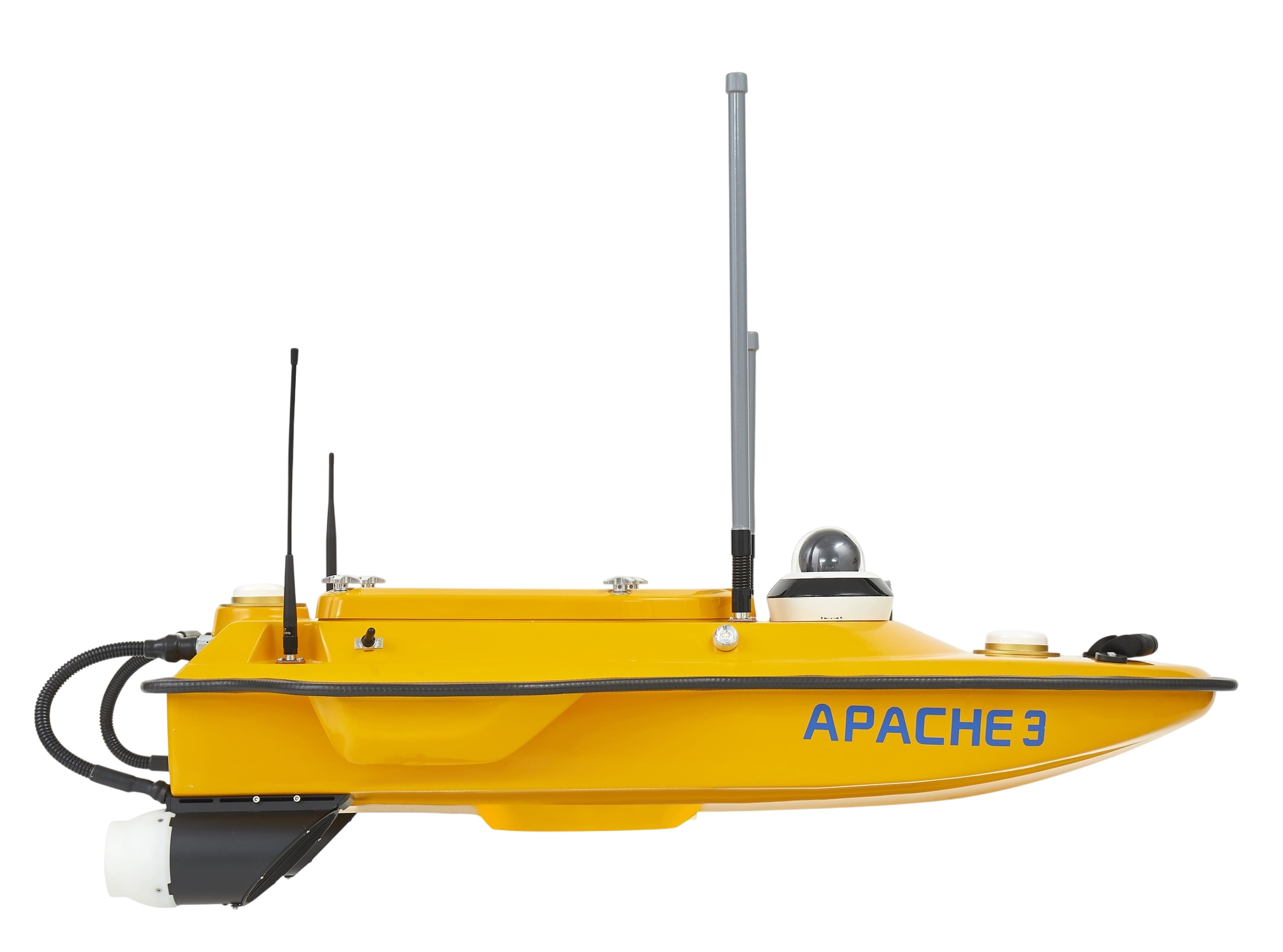
A portable, shallow-draft Unmanned Surface Vehicle (USV) equipped with a single-beam echo sounder, specifically designed for bathymetric surveys in lakes, rivers, and coastal areas. It features 4G communication, dual GNSS for precise positioning and heading, an integrated IMU sensor, and high-performance motors. Capable of fully autonomous waypoint navigation. The APACHE 3 ensures highly accurate data collection even in challenging water conditions.
Download Product Manual
